Donmouth Local Nature Reserve
Published:
Yesterday, when I went for the radio adventure day, I took my camera and took some lovely photos around the beach. The weather was good again today and I know I haven’t done much photography in a while so I thought I’d get some more practice in by taking the camera out again.
I visited the Donmouth Local Nature Reserve which is approximately half a mile from my home on a bearing of 350° from my home in Aberdeen. Sorry there’s no APRS trace for this adventure, my phone still hadn’t been charged from yesterday’s adventure.
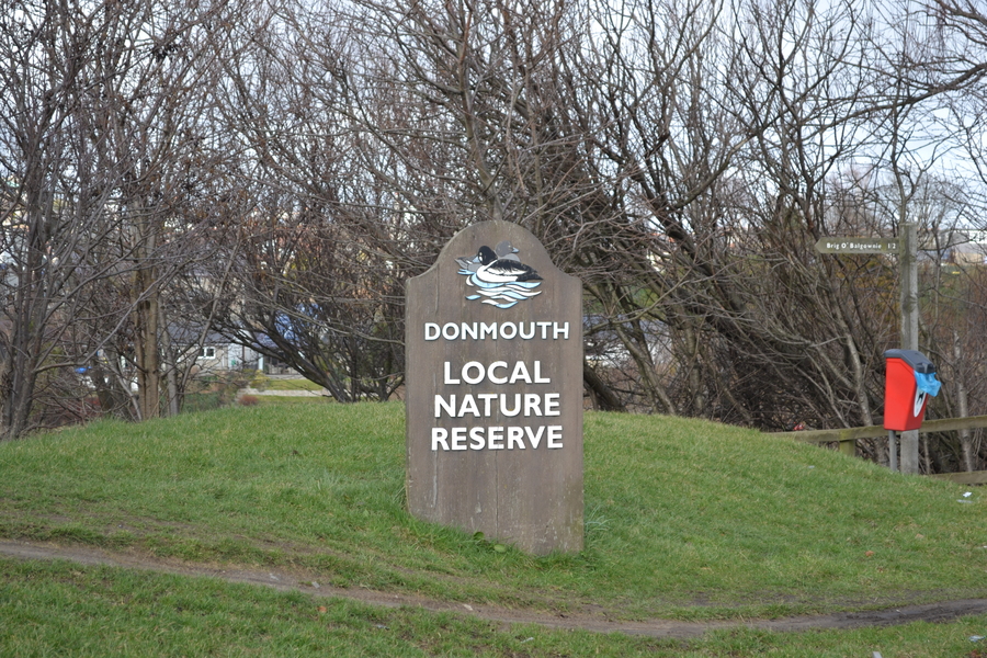
The entrance to the Donmouth Local Nature Reserve
The Adventure Begins
I started the adventure walking from King Street alongside the River Don towards Brig O' Balgownie. While the journey along this side of the river was a lovely walk, it didn’t make for wonderful photos at first as the bank of the river was lined with trees.
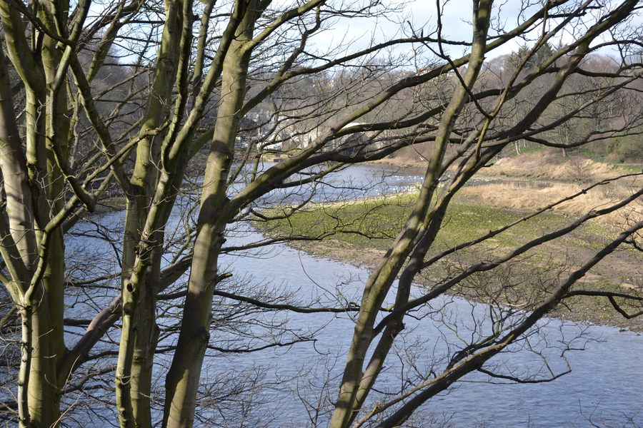
Trees
Towards the end of the path however, there were some steps down to the river and I was able to take a photo looking back up the river towards King Street.
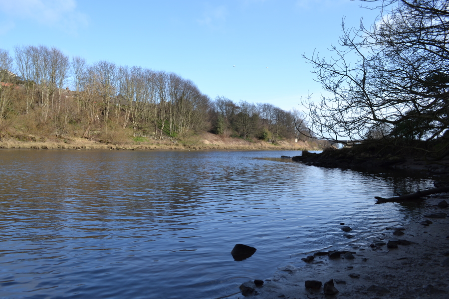
River
Brig O’ Balgownie
At the other end of the path, I reached the Brig O’ Balgownie. The brige itself is cobbled as has the same sort of feel to it as some areas around Seaton Park and Old Aberdeen.
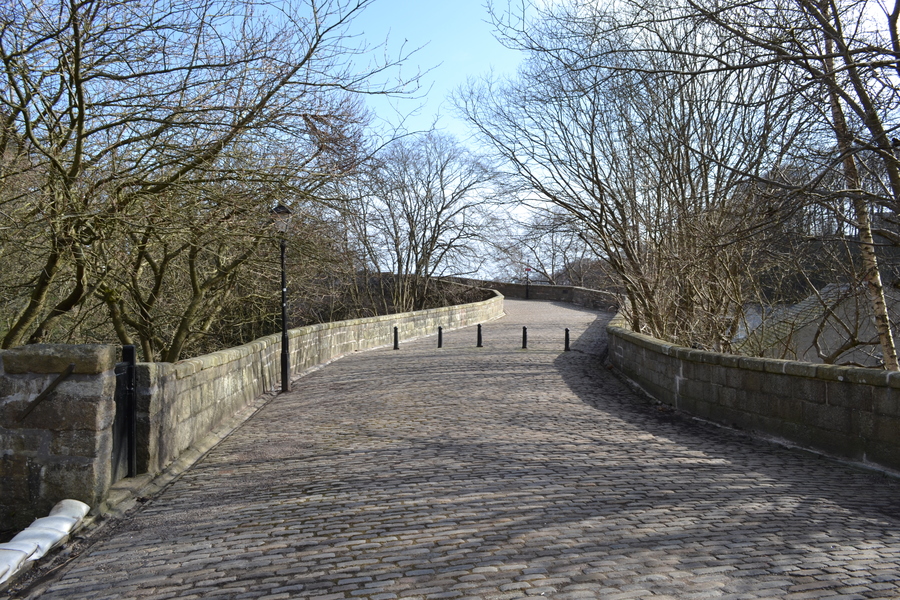
Bridge
Once on the bridge, there were no longer any trees in the way and I was able to take some clear shots looking back up the river.
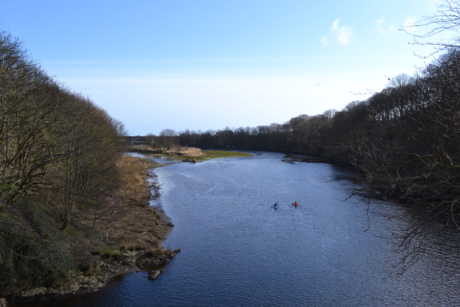
River from the Bridge
On The Other Side
I took the other side of the river to return back to King Street. I was glad to find that the path on this side of the river was considerably less muddy.
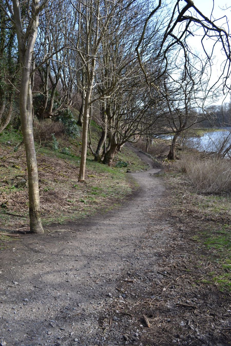
The less muddy path
I was also able once again to get down to the river, and this time get some shots of a few seagulls, Aberdeen’s favourite winged animal.

Seagulls
There weren’t just seagulls in the river today, there were a couple of ducks just further down.
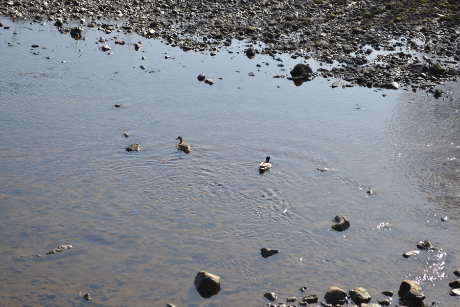
Ducks
Walking a bit more I saw King Street, the end of my adventure, was in sight.
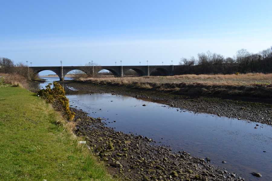
King Street over the River Don
Back To Civilisation
Once back onto King Street I took one last shot looking onto the river.

Looking back from King Street
Then it was back to the city and time to go home.
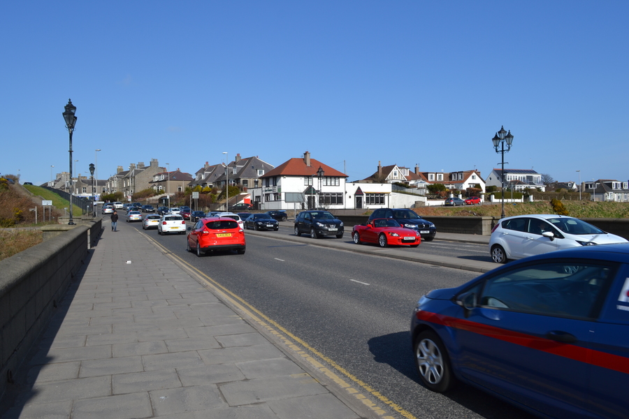
Cars
Next Steps
I didn’t really try any fancy techniques here, I just wanted to get back into taking photos and this seemed like a fun way to do that. I would like in the future to experiment with depth-of-field in outdoor evironments like this, and also get back to exploring other concepts in other environments. Hopefully I’ll be doing a lot more photography this year.
The photos here are not the complete selection of photos I took on this adventure. It would be nice to be able to share them all, geolocated on a map, perhaps showing a GPS trace of the whole journey. I should look to see if such a tool exists and perhaps look at creating it if it doesn’t as I think this would be cool.